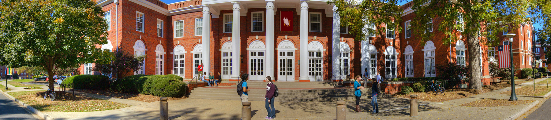
Learn how spatial analysis and visualization is used to address real-world problems in a diversity of fields. This project-based course introduces students to the process of geospatial research and its applications to a range of disciplines and industries, including natural resource management, conservation, climate change resilience and adaptation, and urban planning.
Students will apply the skills they acquire to a semester project, resulting in a research poster that will be presented at a research symposium at the end of the semester.
Topics for Spring 2024 include:
Course Details:
GEOG 501: Geographic Information Systems
Meets Wednesday 9:00 - 9:50 am and Fridays 9:00 - 11:45 pm
$50 course fee
Who is this course for?
Anyone with sophomore status or above interested in how spatial data is used to answer real-world problems. Applications explored in the course span the natural and social sciences. Students from any discipline are welcome and will have the opportunity to apply concepts to a topic within their discipline. Prior GIS experience helps, but not required. Ideal for students excited for research experience.
What else should I know?
GIS is a valued skill in both academic and industry settings. Upon successful completion of this course, students will have experience carrying out geospatial research from start to finish.
Can I earn graduate credit?
Yes! Students can earn graduate credit by completing additional readings and assignments. Reach out to Dr. Kohut to learn more.
Questions: kohutl@Winthrop.edu